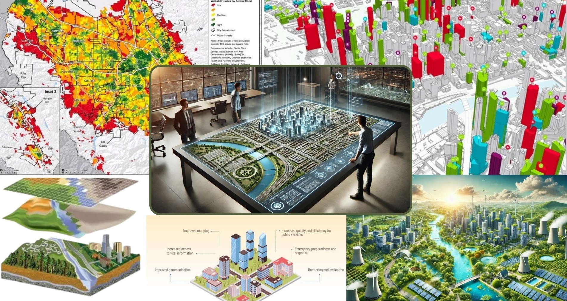
Our GIS Expertise
HiLiKS delivers cutting-edge GIS solutions for urban planning, ports & logistics, and smart cities, leveraging our certified technical excellence and proven impact across industries.
Advanced geospatial technologies for smarter decision making
HiLiKS delivers cutting-edge GIS solutions for urban planning, ports & logistics, and smart cities, leveraging our certified technical excellence and proven impact across industries.
End-to-end automation of 7+ government departments via configurable GIS workflow framework with real-time monitoring and KPI tracking.
Live 3D tracking of all port assets with integrated video feeds and geo-fencing alerts.
Comprehensive geospatial data lifecycle management.
Generate GIS datasets from diverse sources including satellite imagery, public maps, and field surveys.
Standardize raw data from mobile apps, DGPS surveys, and other inputs to align with target models.
Optimize performance, administer databases, and ensure secure backup/restore processes.
Analyze spatial data across departments to support decision-making with actionable insights.